A2O
  • Sites
  • Listen
  • Library
  • About A2O Partners Team Publications and media
  • Contact Us
  • Register
  • Log in
  • Sites
  • Listen
  • Library
  • About A2O Partners Team Publications and media
  • Contact Us
  • Register
  • Log in
  • MENU

  • Home
  • Log in
  • Register
  • Sites
  • Site
  • Library
  • Data Request
  • Send Audio
  • Report Problem
  • Statistics
  • Website Status

  1. Sites
  2. Robson Creek

Robson Creek

Robson Creek image

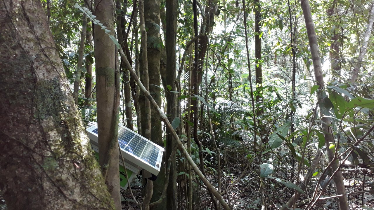
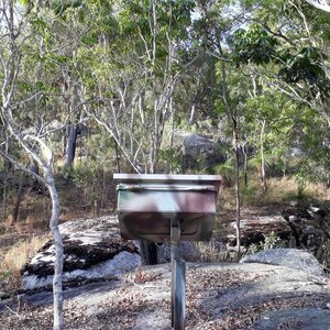
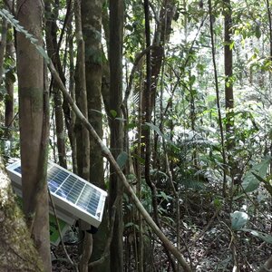
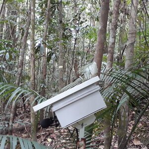
The Robson Creek SuperSite lies on the Atherton Tablelands in the wet tropical rainforests of Australia at 680-740m elevation. It is situated in Danbulla National Park within the Wet Tropics World Heritage Area. The climate is seasonal with approximately 60% of rain falling between January–March and the landform is moderately inclined with a low relief although the Lamb Range rises sharply to 1276m asl immediately to the north of the 25ha plot which was established in 2009. The vegetation of Robson Creek is predominantly simple notophyll vine forest, although there are areas of drier vegetation. All stems ≥10cm diameter are measured, tagged and mapped to provide the a mapping of the most carbon dense forest in Australia with >23000 stems and over 200 tree species. The core 1ha plot is located near the south-western corner of the 25ha plot. In 2013, a 40m flux tower was established adjacent to the plot.

  • Robson Creek Dry A alt
    Robson Creek Dry A
  • Robson Creek Dry B alt
    Robson Creek Dry B
  • Robson Creek Wet A alt
    Robson Creek Wet A
  • Robson Creek Wet B alt
    Robson Creek Wet B
  • SITES

  • Audio Recordings
  • Search Annotations
  • Download Recordings
  • View Timeline

  • License

    CC-BY-4.0
  • © QUT 2025

  • 25.08.09-build0+beta.908bf485

  • Statistics
  • Website Status
  • Disclaimers
  • Credits
  • Ethics
  • Data Sharing
  • Contact Us